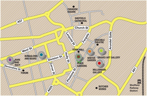
This will be a simple, easy to read reference map with distinct symbology for venues, statues, parks, and various points of interest regarding the history of the DC music scene past and present. Preliminary research indicates that limiting the scope to the District of Columbia provides plenty of sites within a concentrated range. Extending the geography to Virginia or Maryland may reduce the novelty and appeal of the map subject.
Data will be primarily from the internet. At present, there are no anticipated difficulties in acquiring or manipulating data. In-person verification and validation (ground-truthing) of some locations may be required to ensure the utility and positive reception of the map. A simplified street map will serve as the base map. Map background and supplemental features will be determined once the primary map features coalesce.
Production Schedule:
Week 1: Research DC music history, create table of important figures and places, trim list to 30 points or less. Verify any questionable locations; get addresses and coordinates if GIS is incorporated now or in future. Indicate if some venues are seasonal.
Week 2(ongoing): Design and layout- Determine appropriate street base map, color scheme, symbology. Note potential time to complete a tour. Categorize points of interest. Use weekly class feedback toward updates and revisions. Place paths. How connected are the sites? Is the rough draft map readable?
Week 3: Is the draft map functionally accurate at this stage. Could anyone navigate the sites easily? Add background. Determine peripheral cartographic elements.
Week 4: Critical week for feedback should be close to final product with due date and last presentations approaching. Shop the map; ask colleagues and students outside the program about quality, utility, stupidity, etc.
Week 5: Scrutinize for opportunities to add nuance and professional touches. Look for the little things, unless big things are not finalized. Finalize big things. Listen to classmates’ critiques for perspective, last minute catches on what I’ve seen for weeks, and future adjustments.
Week 6: Sweet relief! Winter Break.
Anticipated Challenges (as of 11/4/14)- Determine if this will be a walking tour-multiple days/ stages/route/seasonal factors, number of places too few/too many, how to communicate significance simply, attracting interest from general audience, accessibility, safety. Make it colorblind friendly, ease of digital/paper transfer betweeen media. This list will expand as necessary.
Map Examples- The Good, The Bad, and ¡Uy que feo!


